
Surveillance and Mapping UAVs

Long-Endurance Platforms for Intelligence, Monitoring & Geospatial Data
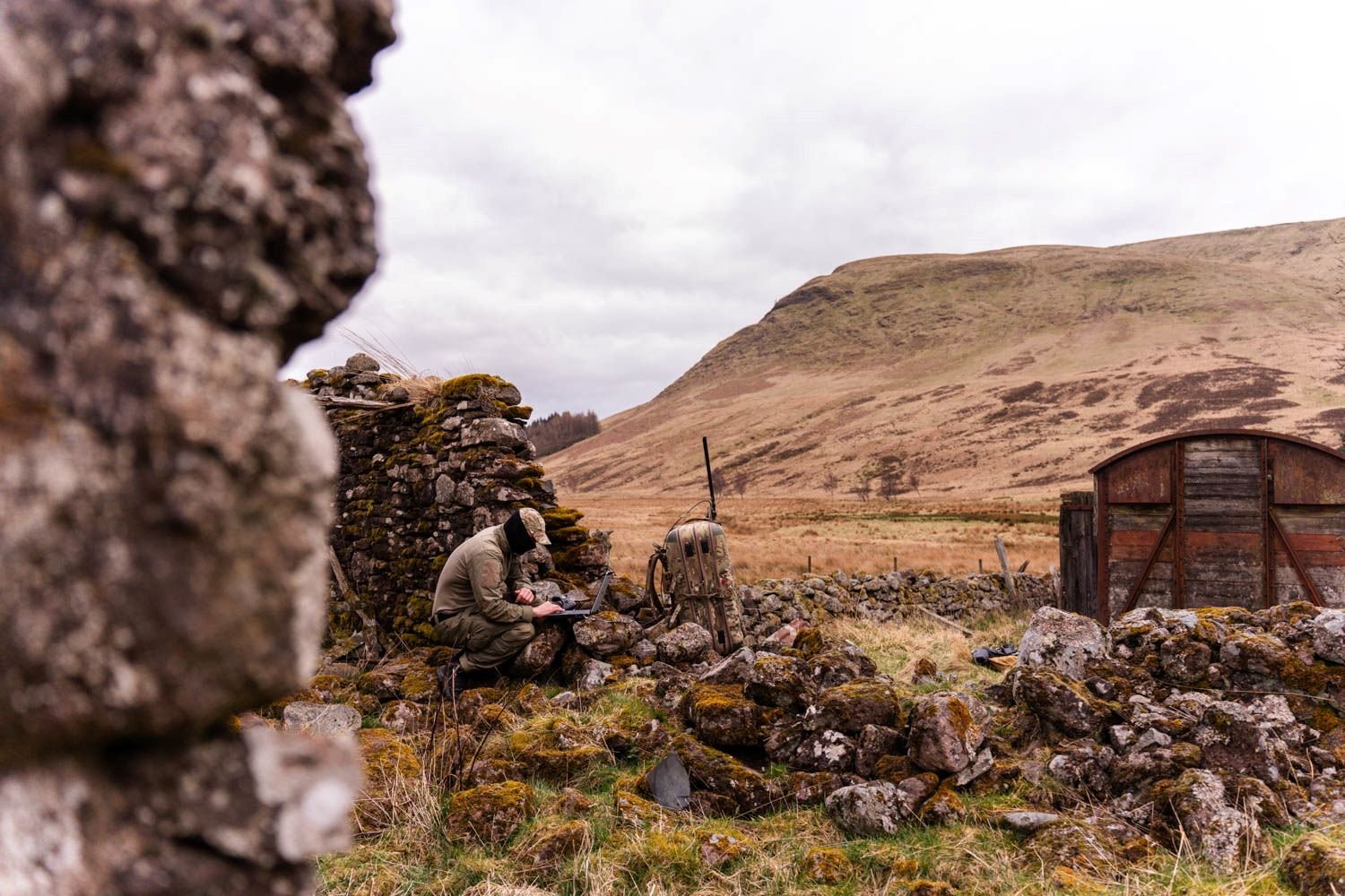
Our surveillance and mapping UAV systems are designed to deliver reliable performance across large-scale and complex environments.
Built for endurance, stability, and accuracy, these platforms enable real-time monitoring, high-resolution data capture, and mission-critical intelligence gathering.
Our UAV systems are engineered with a focus on reliability, precision, and adaptability, ensuring consistent performance across diverse operational environments.
• Custom-built for mission requirements.
• Proven engineering and testing approach.
• Integration of advanced technologies.
• End-to-end deployment support.
KEY CAPABILITIES
Long-Endurance Flight
Optimized for extended missions with efficient energy usage and stable flight performance.
High-Resolution Imaging
Advanced cameras and sensors for detailed aerial mapping and surveillance.
Real-Time Data Transmission
Seamless data streaming for immediate analysis and decision-making.
APPLICATIONS
Border & Security Surveillance
Continuous monitoring for situational awareness and threat detection.
Infrastructure Inspection
Mapping and monitoring of pipelines, power lines, and critical assets.
Agriculture &
Land Survey
Precision mapping for crop analysis, land assessment, and environmental monitoring.
Future-Proofing for Evolving Missions
Twister is designed to adapt and scale with evolving mission requirements, ensuring that warfighters remain at the forefront of aerial intelligence. The operator only receives relevant information in the form of messages or warnings. Constant monitoring of the live video is not necessary.
Scalable architecture and payload flexibility enable quick system upgrades to meet evolving mission demands. Twister features a modular design with easily replaceable components, minimizing downtime and increasing system availability. Its precise, fully electric vertical landing capabilities also protect equipment during launch and recovery.
Twister’s advanced design also enables real-time intelligence sharing across teams, enhancing coordination and decision-making on the battlefield. Its reliability makes it a perfect fit for high-risk environments where performance and uptime are critical.
Seamless Operations in GNSS-Denied and EW-Contested Environments
With Twister, operators gain enhanced mission endurance and the ability to operate in even the most challenging environments, from dense urban areas to contested combat zones, leveraging advanced EW resilience to maintain critical capabilities where others fail. Onboard Al enhances this adaptability, enabling precise navigation even without GNSS and keeping warfighters connected and operational in the toughest scenarios.
Enables precise navigation in GPS-denied environments by fusing visual data with inertial sensors, providing continuous and reliable positioning through relative referencing.
Enables real-time decision making, adaptive flight paths, and automated responses to emerging threats and terrain changes.
Ensures seamless coordination with other platforms and systems, including joint force operation centers, by sharing data with other assets and Battle Management Systems (BMS), such as Android Team Awareness Kit (ATAK) and SitaWare Tactical Communication Software in real-time. This capability maximizes battlefield effectiveness, enhancing situational awareness and the ability to react to threats dynamically.
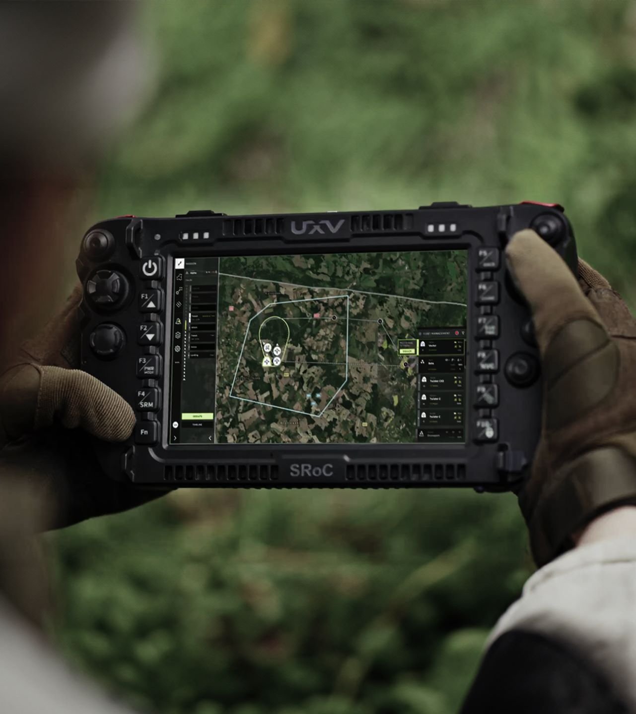
MOSAIC UXS
MOSAIC UXS is fully integrated mission software designed for seamless command and control of unmanned systems in the air, on land, and at sea. Built for current and future battlefield management, MOSAIC combines AI-powered planning with real-time mission evaluation to create dynamic 3D digital maps. These maps translate objectives into precise commands for autonomous platforms. MOSAIC fuses sensor data and intelligence into a unified operational picture, reducing operator cognitive load and enabling rapid, informed decision-making.
Its open, scalable framework supports multi-domain coordination, from ISR drones and ground vehicles to maritime sensors. This allows operators to control individual systems with rugged handheld devices or orchestrate swarms and entire fleets from advanced command centers. MOSAIC’s universal software ensures versatility, interoperability, and tactical dominance across any mission environment.
Technical Specification
Max. Take–Off Weight
3.8 kg
Flight Endurance
90 min
Speed Range
19 m/s – 21 m/s
Wind Tolerance
10 m/s (ground) 12 m/s (air)